Martinez highlight
Historic waterfront
The Carquinez Strait shoreline stretches 1,568 acres of bluffs and meadows where Portuguese and Italian fishermen operated canneries and ferries in the 1800s.
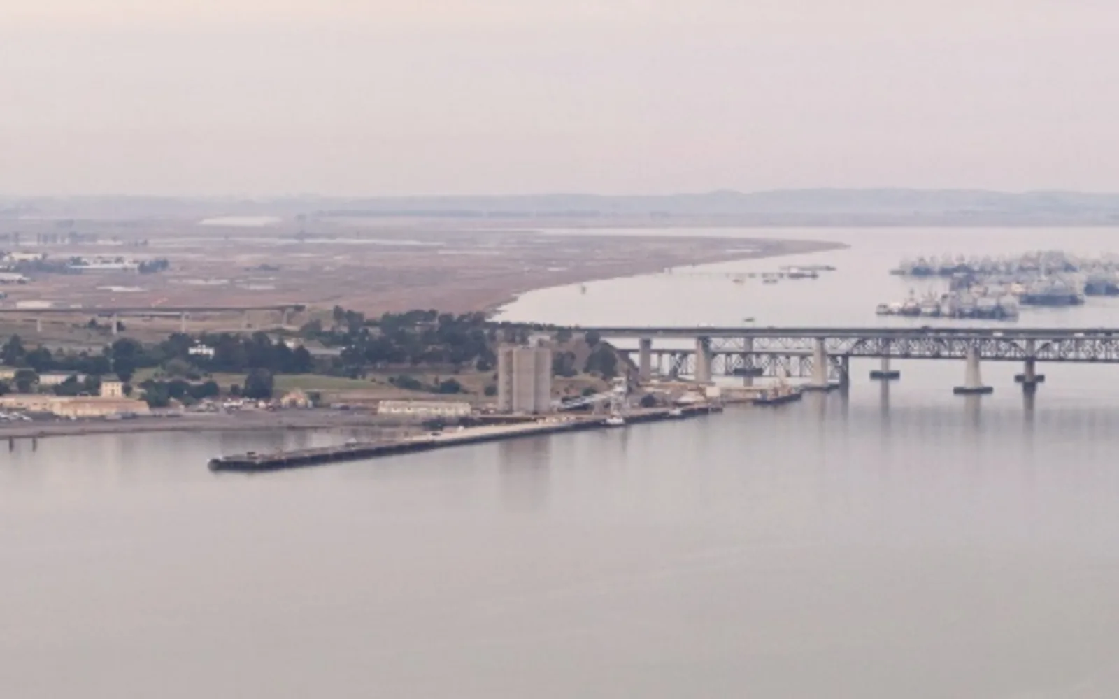
The Carquinez Strait Regional Shoreline, managed by the East Bay Regional Parks District, curves for miles between Crockett and Martinez, with open rolling grasslands rising steeply to 750-foot coastal hills. The waters below still hold history: in 1847, Dr. Robert Semple operated a ferry across the Strait between Benicia and Martinez, a critical link in the early transportation network. By the 1870s, Portuguese and Italian fishermen had established two of the twelve canneries operating on the Pacific Coast, processing local catches in the tidelands below the bluffs.
The shoreline is today a network of trails through eucalyptus-shaded meadows, wooded ravines, and riverside meadows, with access points at Nejedly and Bull Valley trailheads. Visitors come to hike, fish, ride horses and walk dogs on multi-purpose trails that open dawn to dusk. The built environment holds reminders of the past: old brickworks, a grain wharf, and remains of early 20th-century resorts stand alongside the newer trail infrastructure.
Families who use the waterfront trails—a weekend ritual, a place to train for races, a setting for picnics and gatherings—are the households that insurance planning protects. A parent who depends on income to maintain a mortgage and meet a family's weekly needs is the same person whose disappearance would force a sudden reckoning. Insurance shifts the financial reckoning to the policy rather than to the people left behind.